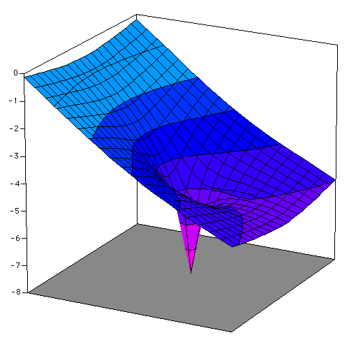
Two views of the "capture zone" around a pumping well in an area where there is a sloping water table (or piezometric surface) can be determined by superposition of the sloping water table together with the calculated cone of depression for the well.

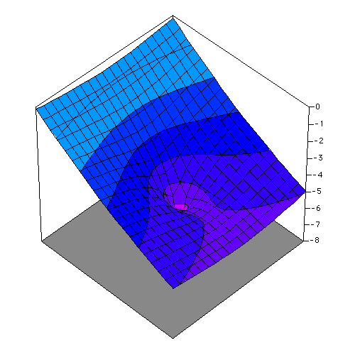
 +
+  =
= 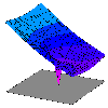
You can also download a MicroSoft Excel (v. 4) Chart of this well, allowing you to rotate and view the image from other directions (configure your Web Browser to recognize MIME type "application/excel," using MicroSoft Excel as the "helper" application).
Index | One Well | No Flow Boundary | Constant Head Boundary | Two Wells | Capture Zone